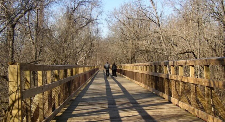
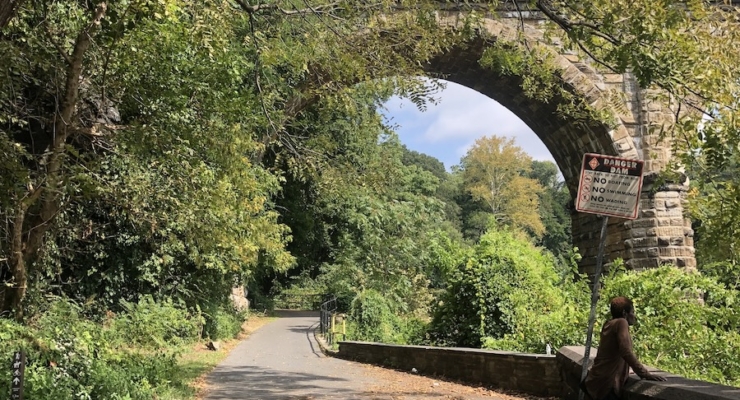
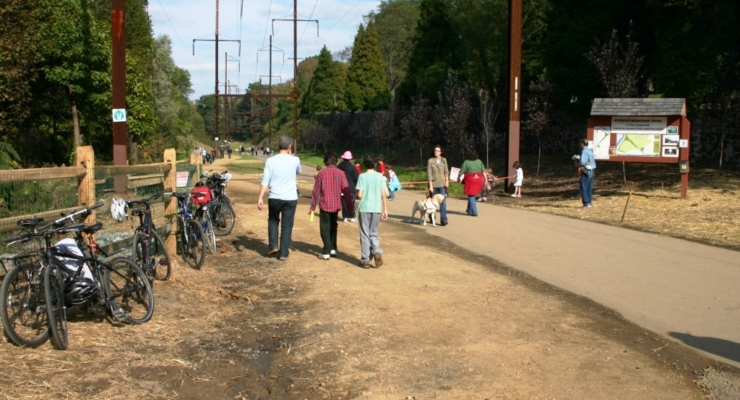
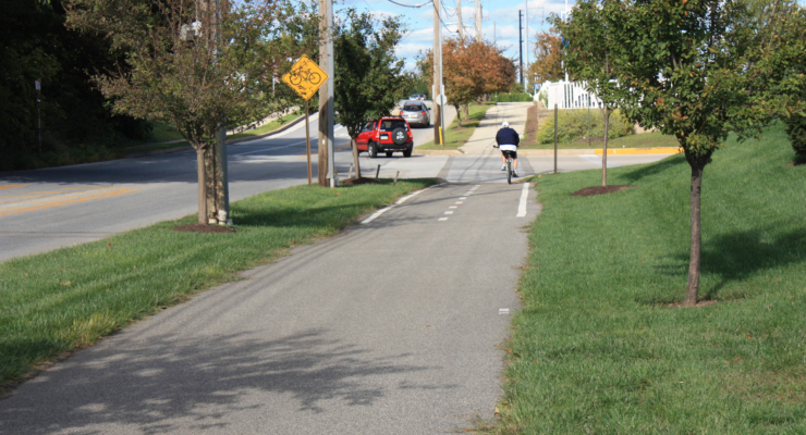
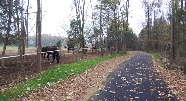
Schuylkill River Trail (SRT)

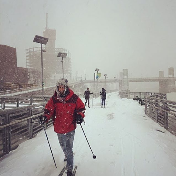
Schuylkill River Trail | Photo by Anya Saretzky
Schuylkill River Trail (SRT)
The Schuylkill River Trail is a 82.4-mile trail and is part of the Circuit Trails network, a system of multi-use trails in the Greater Philadelphia and southern New Jersey region that when finished will include more than 850 miles of trails.
Explore more segments of the SRT:
Schuylkill Crossing – Gray’s Ferry Swing Bridge
SRT: Bartram’s Mile Trail
SRT (Gaps)
SRT: Gray’s Ferry Crescent
Tidal Schuylkill River Trail
State: Pennsylvania
Location: Berks, Chester, Montgomery, Philadelphia and Schuylkill counties
Trail Length: 82.4 miles open in multiple sections. When complete, the trail will be 120 miles.
Surface: Asphalt, Boardwalk, Concrete, Crushed Stone, Dirt, Gravel
Status: Open for use

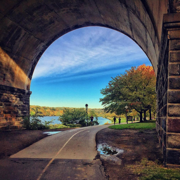
Schuylkill River Trail – Photo by Thom Carroll
Getting to the Trail
Parking and Public Transportation Options
Parking is available at Schlegel Park, 100 E Wyomissing Blvd. (Reading), Longford Park, 100 Longford Rd (Phoenixville) or 5 Lock St (Philadelphia).
If you are taking public transportation, the trail can be accessed at multiple points from SEPTA’s Regional Rail Manayunk/Norristown Line and SEPTA 93 bus route.
For more information about the trail, visit TrailLink.com.
Explore the Trail
View this post on Instagram
Schuylkill River Trail: Pottstown to Reading Itinerary
Pottstown to Reading Montgomery and Berks Counties
Schuylkill River Trail: Manayunk to Valley Forge Trail Itinerary
Manayunk to Valley Forge Philadephia, PA
Schuylkill River Trail: Schuylkill Banks to Manayunk Trail Itinerary
Schuylkill Banks to Manayunk Philadelphia, PA
Trail Activities
Events and activities are happening on Circuit Trails around the region all the time. Friends of the Wissahickon, a Circuit Trails Coalition member, often hosts events on the Wissahickon Valley Park Trail – Forbidden Drive. View all upcoming events #OnTheCircuit here.
Email info@circuittrails.org with questions or updates to this trail.
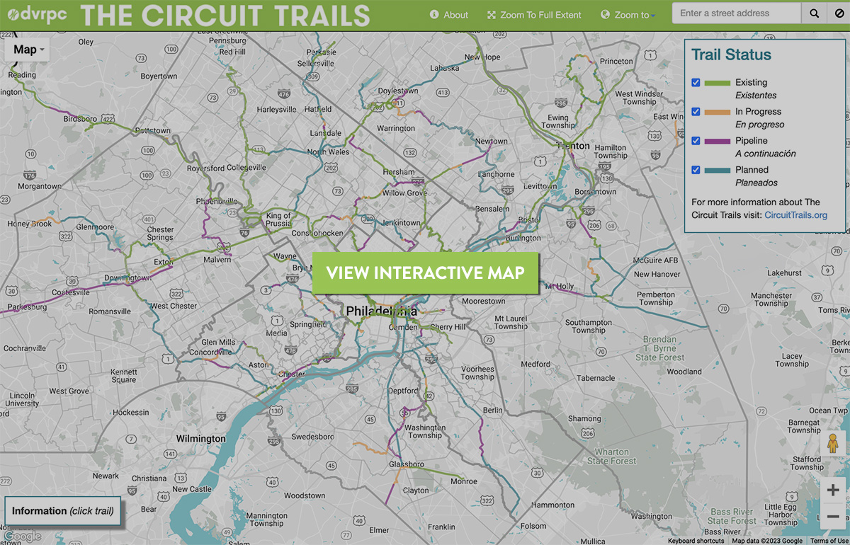
View the Circuit Trails interactive map by DVRPC

Find more trail information and detailed trail maps on TrailLink.com.
Plan your trip on Traillink.com